Mt Price
- Solo ascent of the second highest peak in the Crystal Range.
I wanted to get in some conditioning at higher elevation. I also wanted to explore Mt Price and save bagging Pyramid for a family trip. We had stayed at Wrights Lake earlier and I was excited to hike through more of the area.
DAY HIKE
 |
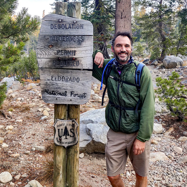
| Entering the Wilderness |
 |
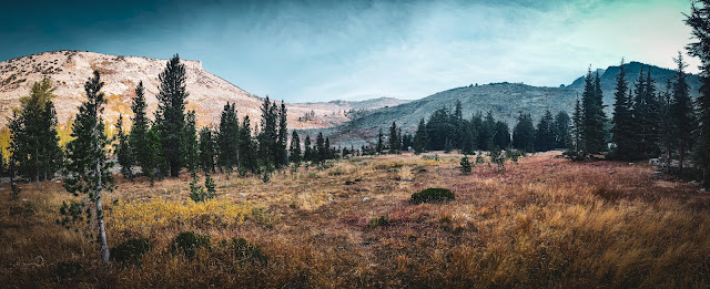
High meadow on the approach from Sylvia
|
 |
| Shadow cast by Pyramid Peak |
 |
| Northern unnamed lake |
 |
| View south along the Crystal Range |
 |
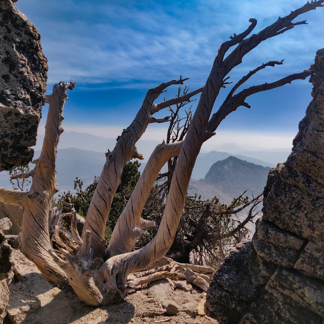
| Old pine atop Agassiz |
 |
| Panorama from Mt Price Summit |
 |
| Summit selfie |
 |
| Lower Lyons Lake |
Highlights
- Stayed in Kyburz the night before. It was great getting an early morning start! Easy parking and cool hiking weather.
- Met a nice hiker with his dog on the way up.
- Clear skies above the smoke.
- Beautiful lakes and light throughout the morning.
RECAP
- Location: Mt Price (9,975ft summit) Desolation Wilderness via the Lyons Creek trailhead.
- Date: October 2020.
- Stats: 12+ total mileage with ~3,500ft elevation gain.
- Maps: NatGeo 805 Lake Tahoe Basin.
- When the area is accessible again, I would definitely return and stay at Lyons Lake or summit Pyramid Peak. I'm very fortunate I got to do this hike prior to the fire.
 |
Route map
Gaia GPS | © Mapbox | © OpenStreetMap Contributors |
|
Great hike!


No comments
Post a Comment